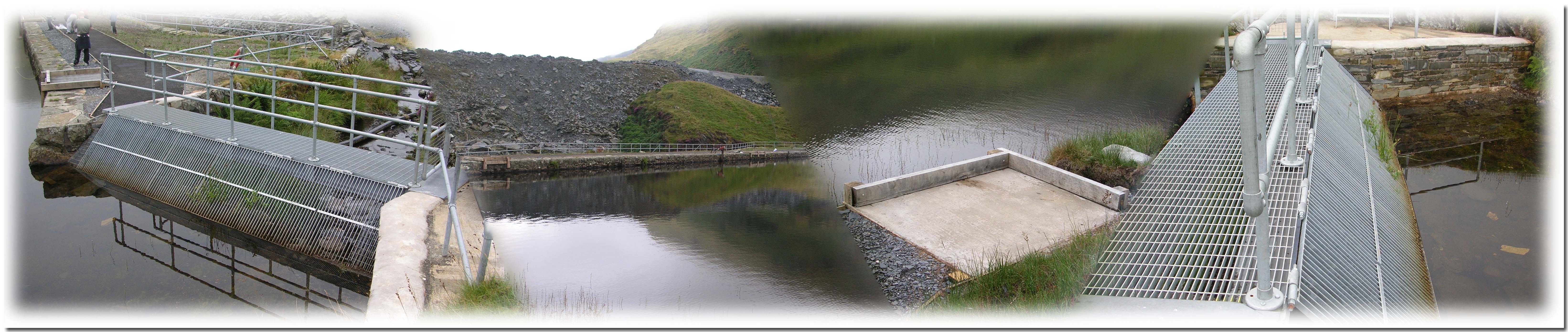
Projects
CES are pleased to report that we have undertaken a number of interesting studies and projects over the last three years and are keen to further develop the project portfolio particularly in the areas of hydrological modelling and reporting. The following provides a brief summary of some of our more interesting recent projects:
• Wyre Borough Council Strategic Flood Risk Model, a SFRM commissioned by Wyre Borough Council to inform the SFRA being undertaken “in-house”. The modelling study was undertaken using TUFLOW two-dimensional modelling software in conjunction with MapInfo Professional 8.5. The project was completed within a ten-week period, which included the Christmas period and data acquisition from the Environment Agency and other stakeholders.
• Tywyn Headland Breakwaters, Project Appraisal Report for Gwynedd Council, North Wales. The report consisted of the preparation of an economic assessment of the project viability to central government guidance for a £15.5m coast protection and flood defence project in Cardigan Bay on the west coast of Wales. The study site is located within a Candidate Special Area of Conservation cSAC and required an assessment of the likely flood extents along with a robust economic assessment of benefits and scheme costs to determine if the scheme satisfies the required technical, economic and environmental criteria for attracting Welsh Assembly Government grant aid.
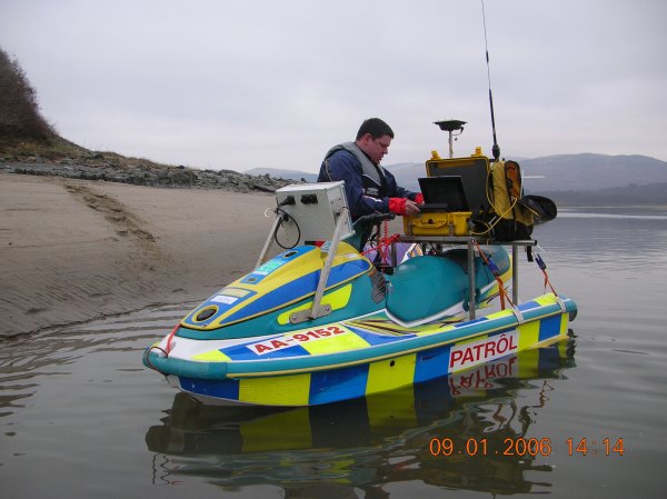
• Aberdyfi Data Calibration Report for the Courtown Aberdyfi Rural Regeneration Project (CARP). This is a European funded “intereg” project involving collaboration between Irish and Welsh projects. The study was required to obtain model calibration data (Hydrographic survey, ADCP velocity profiles, wind direction, wind speed, atmospheric pressure, tide levels and sediment samples) for the Dyfi Estuary in Cardigan Bay.
• Dolfeurig Flood Consequence Assessment for Martin Wright Associates (MWA), Bala, North Wales. The project required the assessment of flooding consequences for the redevelopment of an urban site into public offices in Dolgellau for Gwynedd Council. Computer modelling of the R.Wnion was undertaken using HEC-RAS.
• Rhyl Tidal Breach Modelling Report for Denbighshire County Council, North Wales. The project required the assessment of flood extents following a theoretical 50m wide breach in the existing sea defences. Modelling work has been undertaken using LIDAR and GPS survey data and TUFLOW hydrodynamic modelling software. The model comprises of a combination of two dimensional elements to represent the ground surface profile and one dimensional elements to better define the existing watercourses, culverts and outfall within the study area. Data has been prepared in MapInfo “Tab” file formats and “avi” movie files showing the propagation of overland flows over a 20 hour period (two tides).
• Ou Beck Modelling Report, Galgate , Lancaster for MWA, this project has been undertaken in both WinDES and TUFLOW. The works were commissioned by Lancaster City Council, CES acted a sub consultants to MWA. The project was required to inform MWA of the flood mapping extents flow velocities and flood depths at the study site to prepare a Project Appraisal Report under DEFRA guidance. The modelling involved the analysis of a semi rural watercourse/catchment hydrology and the modelling of an inverted siphon under the Lancaster Canal.
• Royles Brook & Hillylaid Pool to Stannah Pumping Station Modelling Report , for MWA. This report was commissioned by Wyre Borough Council to determine the flood extents on a low lying area within the Wyre Borough Council administrative area. Modelling works required the preparation of approximately 5km of open watercourses and culverts with inverts at or near to sea level. The two watercourses were fed by a series of inline pumping stations with a tidally affected outfall to the R.Wyre with a Twin achemedian screw pumping station of 8.4 m 3 /s capacity. Modelling was undertaken using a combination of WinDES and Infoworks RS. Flood mapping highlighted approximately 3000 properties that would be affected following a 100 year flooding event from the two watercourses.